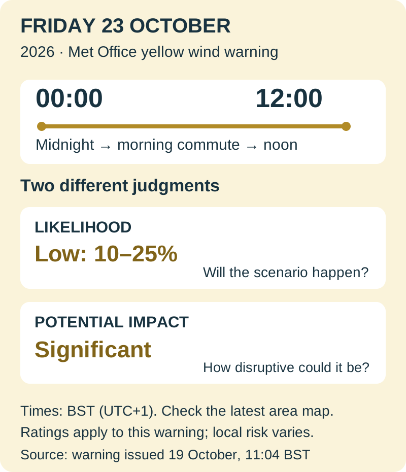
The Met Office has issued a yellow wind warning for 00:00 to 12:00 BST on Friday, 23 October 2026, covering parts of southern England and Wales, including Herefordshire. It warns of possible gusts of 50–60 mph, with 70 mph or more possible at some exposed and coastal locations. The warning was issued at 11:04 BST on Monday, 19 October.
The forecast concerns a developing low-pressure system approaching late on Thursday and moving across or close to southern Britain on Friday. Its eventual depth and track remain uncertain, according to the Met Office. That uncertainty is central to the warning: it sets out a potentially disruptive scenario several days ahead, while the precise locations of the strongest winds can still change.
Friday 23 October: warning essentials
| Item | Published warning |
|---|---|
| Valid hours | 00:00–12:00 BST (UTC+1) |
| Area | Parts of southern England and Wales; Herefordshire included |
| Gust scenario | 50–60 mph; 70 mph or more possible at exposed/coastal sites |
| Likelihood / impact | Low (10–25%) / significant |
Issued 19 October at 11:04 BST; checked 20 October. Use the official authority list and map for a specific location.
Which places and hours are covered?
The published authority list spans the South West, parts of Wales, Herefordshire and selected areas under the London & South East heading. That last heading includes Brighton & Hove, East Sussex, Hampshire, the Isle of Wight, Portsmouth, Southampton and West Sussex. It does not list London city. Readers should use the actual authority list and warning map for their route rather than assume every place in a broad region is covered.
The window begins at midnight as Thursday turns into Friday and runs through the morning commute to noon. All those times are British Summer Time, UTC+1. The forecast says winds are likely to ease later in the morning or early afternoon; noon is the warning’s published end, not a guarantee that every road, rail route or exposed location will immediately be back to normal.
Why the warning is yellow while impacts could be significant
For this particular warning, the Met Office matrix pairs a low likelihood, shown as 10–25%, with significant potential impact. These are two separate judgments. The probability concerns the warned scenario, while the impact rating describes the disruption it could cause if it develops. Yellow therefore does not mean that a severe outcome is certain, or that the possible consequences are trivial. The percentage should not be read as the chance that an individual house will suffer damage.
The listed risks include damage from flying debris, some building damage, disruption to road, rail, air and ferry travel, and possible power or mobile-service interruption. Rain could compound the travel difficulties. On the coast, large waves can also put people and coastal routes at risk, so a shoreline walk needs the same attention to the warning as a road or rail journey.
What to do before Friday travel
Before Thursday night, secure loose garden furniture, bins and similar items that could be moved by wind. Charge a phone and power bank and keep a torch available. For a Friday journey, open the official warning page below, check the named areas and latest map, then check the transport operator’s service information before setting out. Allow room to change a route or departure time if the forecast or operator advice worsens.
The next useful update is a change in the warning’s time, area, likelihood or impact level, rather than whether a storm has acquired a name. This guide reflects the 19 October warning checked on 20 October. Use its midnight-to-noon window to make an initial plan, then adjust that plan against the official warning and travel-service updates as Friday approaches.
Based on the Met Office warning issued 19 October 2026 and its same-day forecast explanation, checked 20 October. Local warning areas and forecasts can change; times are BST.
- Met Office·accessible warning and affected authorities ↗
- Met Office·October 19 forecast explanation ↗